Thanks to Simon Renshaw for telling me about the PIC LENS / COOL IRIS add on for POWERPOINT (as long as you have the 2007 version)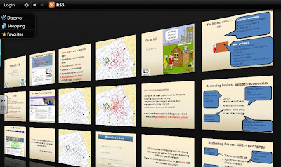
Turns your slides into a 'picture wall' which you can browse through and select just as you can with FLICKR images. Here's a screenshot of my BEDFORD GIS presentation being viewed with the plug in....
Noel Jenkins has also done a demo of another cool tool which Geographers would find useful: RICH CHART, which can be embedded into GOOGLE EARTH placemarks, and produces a range of charts from fieldwork data or other sources.
Some creative ideas for Christmas !
Comments